|
|
|||||||||||||
 |
|||||||||
|
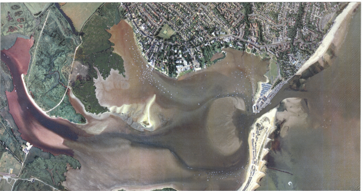
GPSU is a freeware utility that runs on a laptop/PC connected to a GPS. it allows you to calibrate a map image you scanned yourself (chart, satellite photo etc), and then while the GPS is getting a fix, it will point where you are on your image. first you need to download it from http://www.gpsu.co.uk/ then download the hi-res photo of mudeford I provide below, by clicking it too |
|||||||||
 |
|||||||||
|
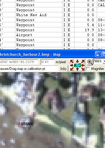
When GPSU asks you to set calibration points, here they both are: STRIDES BRIDGE N50,43.592 / W1,45.194 you need to zoom in on the picture till you can place the point exactly on the end of the bridge as shown, then enter the position above |
|||||||||
 |
|||||||||
|
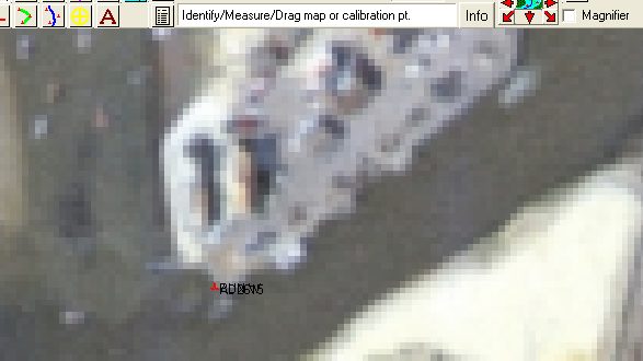
The second was taken from Mudeford Quay at the SW end as shown below. position here is N50,43.413 / W1,44.540 |
|||||||||
 |
|||||||||
|
Provided your calibration points are in the same place on the image, and positions the same, you should also find, in practice the plotting onboard is invaluable and great fun. |
|||||||||
|
[Christchurch Pilot] [Aeriel Photo] [Passages] [GPS Plotting] [OS map] [Panoramas] [Photos] [Yacht Racing] [Links] [GPS 2008] |